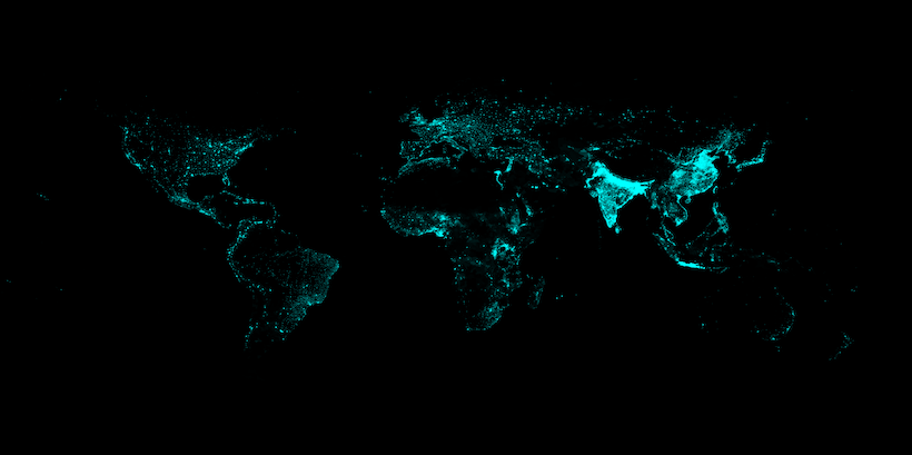
I just finished rendering the Gridded Population of the World (GPW) dataset. I chose the cyan on black color theme since that is a staple of all my cartography projects. Some insights that people pointed out:
Nile River

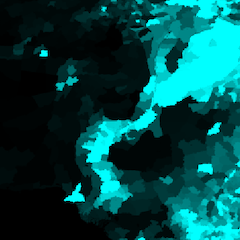
It is amazing how much of Egypt is just dark and yet there’s this bright along the Nile river where presumably everything - the Pharaohs, Cleopatra, Roman conquest, British colonization, Nasser, and today’s events happened. That is 7000+ years of history right there.
Ganges Plains

The bright spot in Northern India starting at the foot of the Himlayas and spanning the states of Uttar Pradesh, Bihar, West Bengal, and Bangladesh feature several of the most densely populated cities in the world.
Pakistan; Punjab

Pakistan’s population is almost entirely situated around the rivers Indus, Jhelum, Chenab, Ravi, and Sutlej - the 5 rivers are referenced in the name of Punjab.
Australia, New Zealand

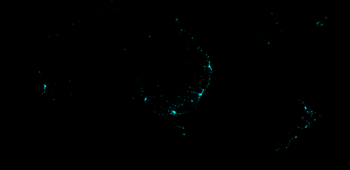
The vast dark expanse that is the outback, and then the coastal cities. NZ is actually in the map - social media on certain sites compresses the image to the point where it appears that it isn’t included.
Nigeria, Sub-Saharan Africa

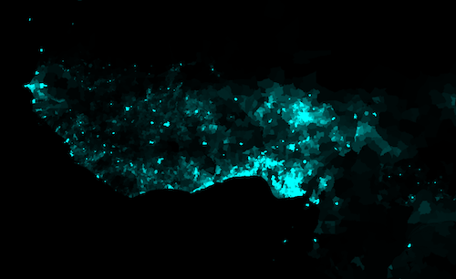
Nigeria is all set to become the third most populous country this century. Sub-saharan Africa is likely to house 1 billion people soon. The region is a hotbed of civil unrest and has seen a dozen or so civil wars in recent history.
Remarks
Were an alien to visit earth and study her dominant species, it would be hard to arrive at the conclusion that mankind originated in East Africa starting from this map alone.
Access to water seems to be the primary driver of human settlement. You can easily trace out the coastlines, islands, and river watersheds from this map.
Feel free to share any other remarks either below or on social media.
Discussions on Social Media
- Reddit: r/dataisbeautiful, r/mapporn, r/India
